Site: Spanish Benchmark
Spanish Benchmark is a Washoe County high point northeast of Reno, near Spanish Springs. The summit sits at about 6,165 feet above sea level with roughly a thousand feet of prominence, which makes it a strong perch for looking out over the Spanish Springs Valley and the Truckee Meadows rim. We highlighted this location in our BLM Carson Field Office partnership announcement; here is a short field diary from early visits to the site.
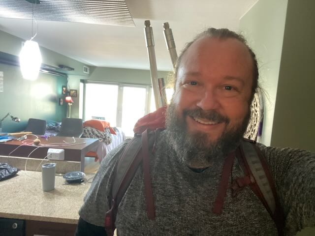
Load out
Mesh kit, poles, and packs do not teleport to ridgelines. Most days start with the quiet work of checking batteries, lashings, and what you are willing to carry for the next few miles of sun and wind.
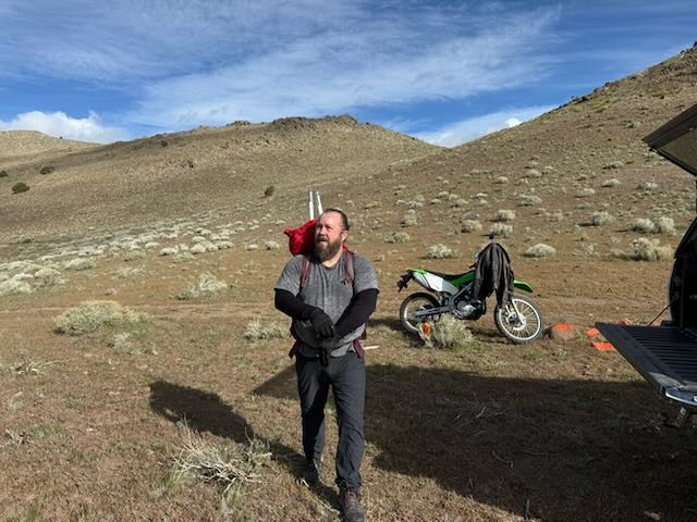
Ridge access
Access is honest high-desert travel: dirt roads when you have them, loose rock when you do not, and a motorcycle or truck where it makes sense to shorten the schlep without tearing up wet soils. Below the final pull to the crest you stage heavy, awkward pieces once, then shuttle or carry them in manageable bites.
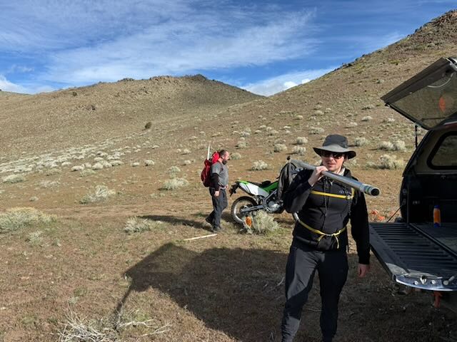
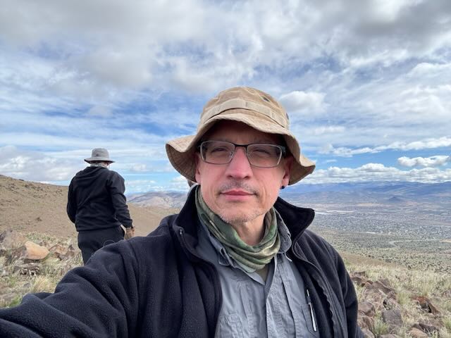
On the shoulder, the valley grid starts to read like a map you can almost touch. Clouds do the work of softening shadows so you are not fighting your own glare on every screen.
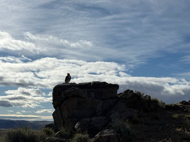
Wild neighbors
This country is not empty. Raptors use the same thermals and outcrops you want for a clean radio path. We keep disturbance small, avoid nesting areas when we know them, and treat sudden wildlife as a cue to pause rather than push.
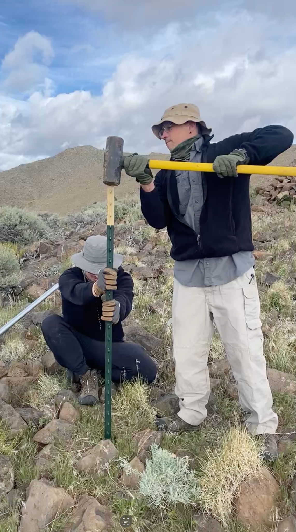
Anchors on the ground
When a site needs a simple mast anchor, a steel T-post, a block to protect the top, and a few careful swings with a hammer still beat most shortcuts. The goal is a solid stake that will not walk in the wind without chewing up more ground than the site needs.
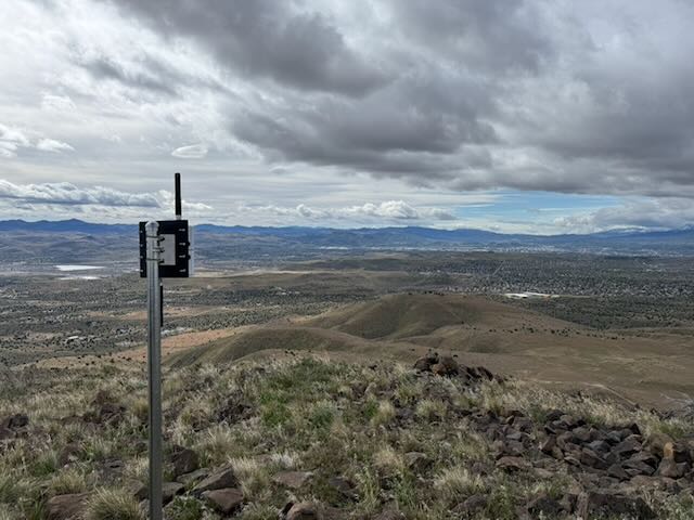
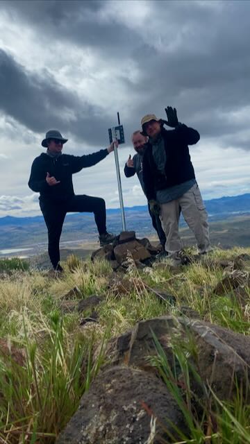
Node in place
With a short mast vertical, you get the node above the worst of the ground clutter and can start to see whether the path matches what the map promised. The valley, dry lake patches, and distant ranges fall into one continuous horizon.
Then comes the human-scale check: three people on a pile of summit rocks, gloves still dusty, making sure the rig is plumb enough and that nobody is standing in a fall line if a gust hits.
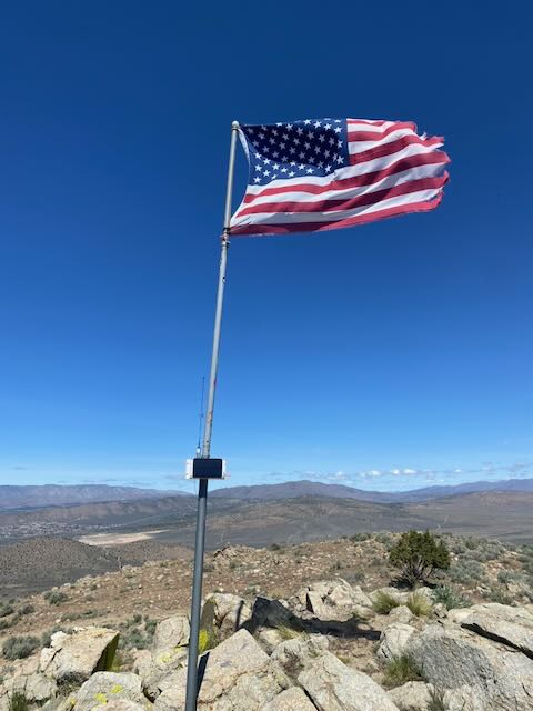
The American flag on the mast was left by someone else before we arrived. We did not put it there, but we were glad to see it. After a long carry and a careful install, it felt like a quiet, fitting nod to the work that day.
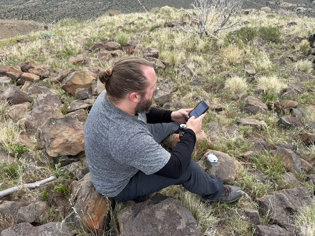
Bench work above the valley
Sometimes the best "configuration screen" is quartzite in full sun. A few quiet minutes on the rocks are enough to confirm routing ideas, message paths, or just that everyone still has water before heading higher.
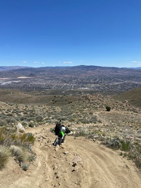
Why the height matters
From the upper trails, the basin opens up. Rooftops, arterials, and pockets of sage read as one terrain. A dirt bike on the grade is only there to get people and tools where they need to go without carving new lines through wet clay or cryptobiotic soil.
Spanish Benchmark is one node in a larger pattern of respectful siting, BLM coordination, and community use. We will keep publishing short site notes like this as additional locations come online.