Scaling Peaks for Public Service: Our New Partnership with the BLM
In a state like Nevada, connectivity is defined by the land. Approximately 85% of our state consists of public lands, the majority of which are managed by the Bureau of Land Management (BLM). To achieve our goal of a truly connected Nevada, working alongside the stewards of this land is not just logical; it is essential.
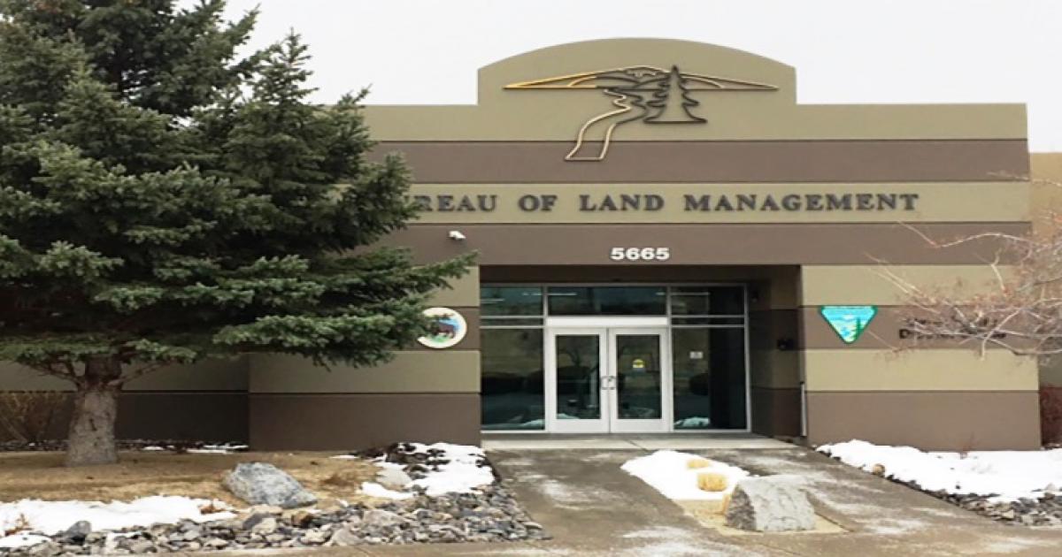
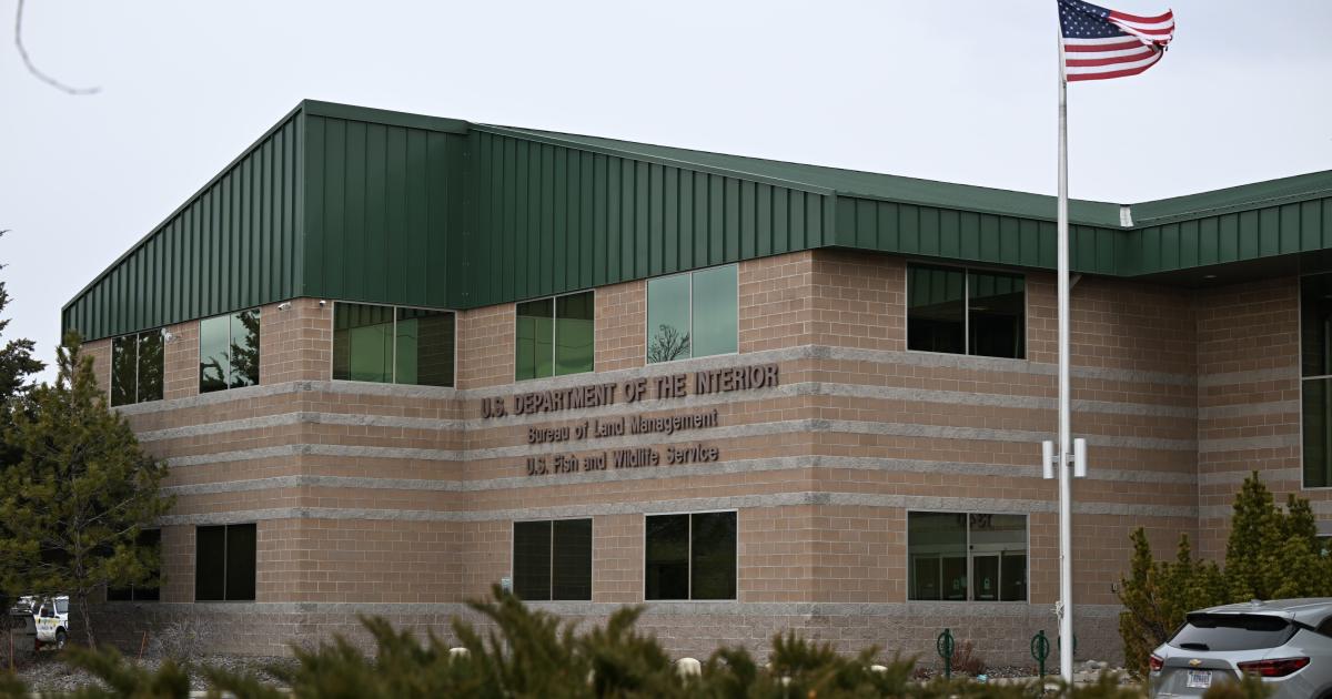
We are thrilled to announce that MeshEnvy has entered into a strategic partnership with the BLM Carson Field Office.
A Two-Year Right of Way
On March 31, 2026, the Carson Field Office granted us a two-year right of way to perform comprehensive site surveys and range testing. This is a critical first step in identifying and establishing future communication sites. This agreement allows us to gather the data needed to build a robust backbone for the mesh network across the Carson District.
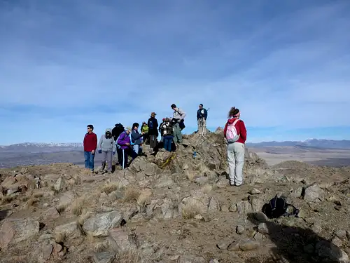
Our team has already begun the physical work. We have strapped on our hiking boots and grabbed our walking poles to summit some of the highest peaks in the district. Getting this technology to the highest points ensures the widest possible coverage for the residents and visitors of Nevada.
Approved locations
Among other areas still being evaluated, the Carson Field Office has granted us permission to place equipment at three sites that illustrate why height and line of sight matter in northern Nevada: Spanish Benchmark, Tule Peak, and Virginia Peak. All three are in Washoe County on public land the BLM helps administer.
Spanish Benchmark sits northeast of Reno near Spanish Springs. Its summit is about 6,165 feet above sea level and forms a strong local high point with roughly a thousand feet of prominence, which supports coverage across the Spanish Springs Valley and the Truckee Meadows rim.
Tule Peak is the highest summit in the Virginia Mountains at about 8,725 feet. It rises sharply above Pyramid Lake to the north and carries more than 3,400 feet of topographic prominence, making it one of northwest Nevada’s major landmarks for long-range radio paths.
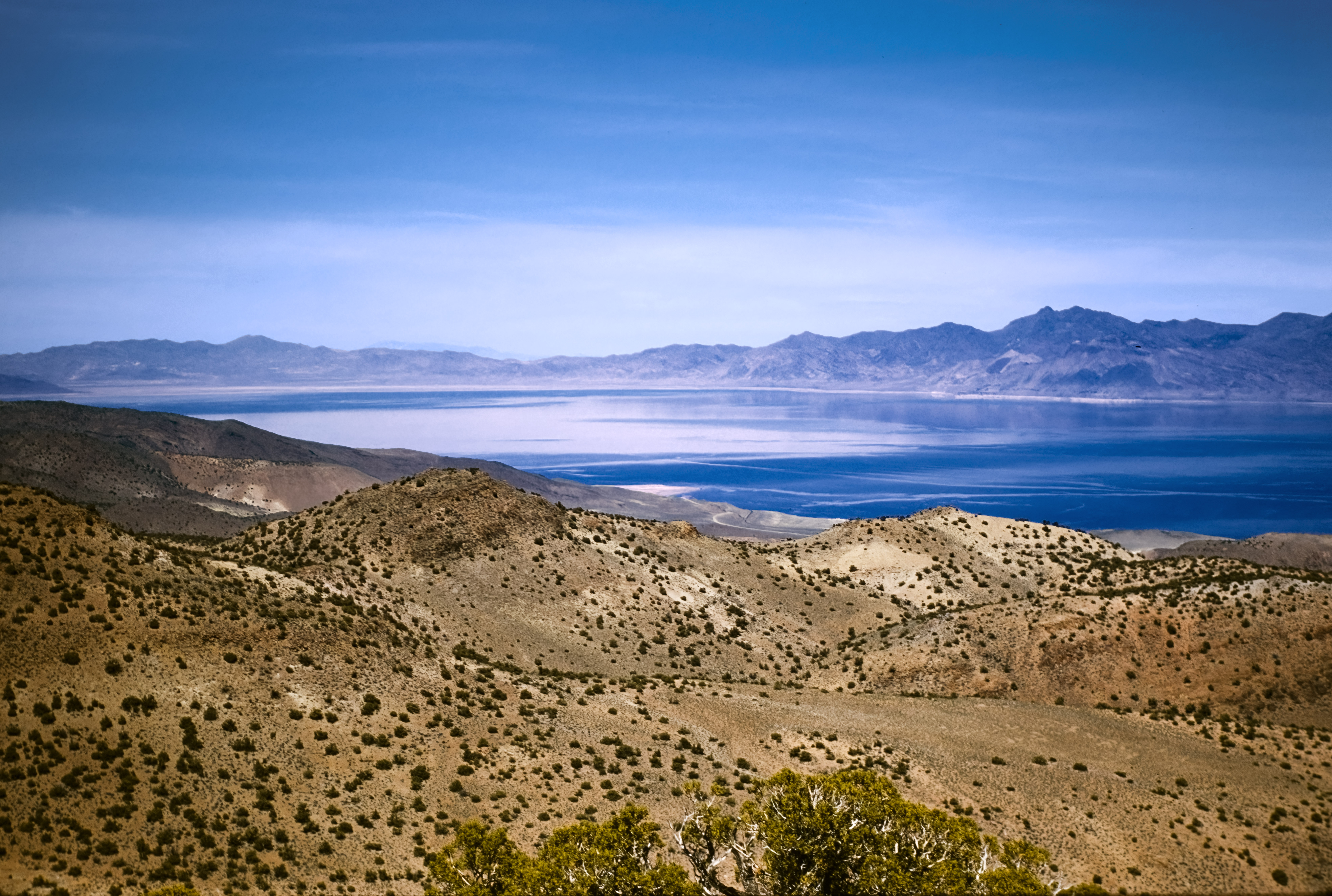
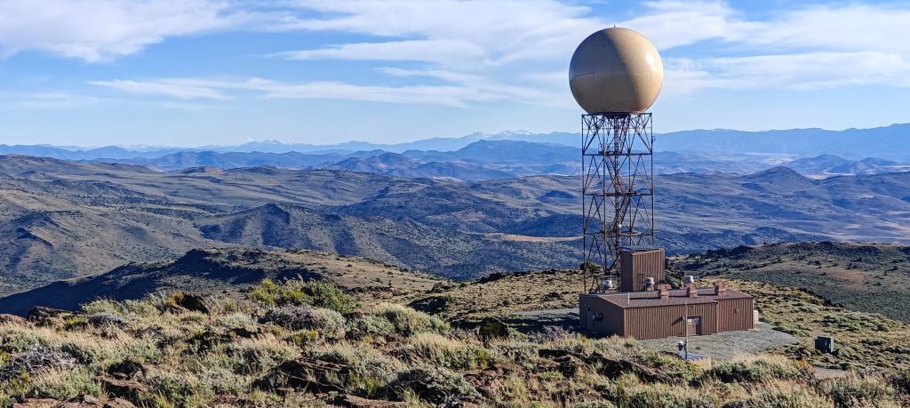
Virginia Peak is the high point of the Pah Rah Range at about 8,370 feet. It is the most prominent summit in Washoe County and already hosts extensive communications infrastructure, including National Weather Service NEXRAD radar. The summit lies on BLM-managed land, where we can add community backbone capacity while respecting existing facilities and spectrum users.
Stewardship and consultation
MeshEnvy works in close collaboration with tribal councils and authorities to make sure historic and culturally significant places are identified, protected, and treated respectfully. We take the same approach with environmental agencies and with professionals who understand living landscapes, including biologists, ecologists, and nature preservationists, so that field plans reflect real ecological and human context.
We remain attentive to other stakeholders as well: Nevada's ranchers and working rangelands, wildlife and sensitive species, operators who already maintain communications equipment on the heights, and the shared interest in protecting Nevada's beautiful skyline and wide-open views wherever we can. These factors, and others that surface during review, are weighed for every site before a boot touches the ground.
Collaborative Innovation
The reception we have received from the Carson Field Office has been incredible. From our very first meeting, their team has been generous with their time and expertise.
There is a genuine sense of shared excitement when we demonstrate the technology. When I walk into their office with a backpack full of hardware to show exactly how a mesh network functions, their eyes light up. Ironically, the BLM staff understands the need for this technology better than most. Even in their own field offices, cell reception is frequently unavailable. Seeing a solution that complements cellular coverage—especially where towers do not reach field offices—has sparked many conversations about how these tools can serve both the public and the agencies that manage our lands.
A Mission for Rural Nevada
As a public service charity, our focus remains on linking all of Nevada. We are particularly dedicated to serving rural and underserved areas where commercial providers often find it unprofitable to operate. This partnership with the BLM is a major milestone in that journey.
We look forward to a long and productive relationship with the BLM. By working together, we are turning the challenge of Nevada's vast, rugged terrain into an opportunity for community building and reliable communication. We will see you on the trails.